
// PRINCIPLE 01
Grounded
Every output traces back to a row, a tick, a sensor reading, or a regulation clause. No general knowledge. No vibe. If we say it, we can point at it, the data, the timestamp, the source node.
Citation · Source Node

No blind spots. No boundaries.
Intelligence without limits.
Most analytics firms ship dashboards. We ship decisions. Twelve years of practice across commodity markets, energy grids, real estate, and industrial operations have taught us one thing: the value in a model is not the forecast, it is the action the forecast unlocks, executed with discipline, before the rest of the market moves. Every model we build is held to three rules.
Every output traces back to a row, a tick, a sensor reading, or a regulation clause. No general knowledge. No vibe. If we say it, we can point at it, the data, the timestamp, the source node.
The data pulled, the prompt issued, the model that answered, the math performed, every step recorded. An auditor can replay it. A regulator can verify it. A successor operator can trust it. This is non-negotiable.
Our models propose. Operators approve. No autonomous write to a system of record, ever. The strongest co-pilot in the room, never the captain. Agentic by design, never unsupervised.
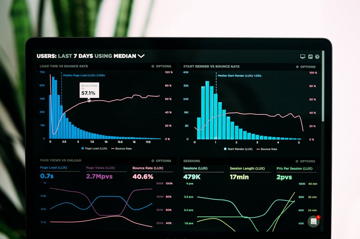
SIGMA finds the structure that decides where to act. MITHRIL shows you the ground it happens on, anywhere on earth. OUTLAY turns a year of enterprise spend into a board-ready savings case. Deploy them together, or alone, depending on the work.
 Model · 01
Single Server · Millisecond Inference
Model · 01
Single Server · Millisecond Inference
A proprietary algorithm developed over fifteen years. SIGMA identifies subtle multi-dimensional patterns in noisy data, recognises regime shifts in real time, and outputs optimal action strategies with measurable confidence. Compact, fast, and self-hostable.
Open SIGMA Brief → Model · 02
From Space · To Surface
Model · 02
From Space · To Surface
A desktop workstation built around one globe carrying a growing library of proprietary analytical layers, hazard, mining, energy, built environment, defence, maritime, and more. Every layer is a validated quantitative model. Every rendered value is traceable to its source.
Open MITHRIL Brief → Model · 03
Enterprise · Source-Traced
Model · 03
Enterprise · Source-Traced
The spend diagnostic that turns a year of enterprise invoices into a board-ready savings case. Every finding traces to your own data, sized in currency with a confidence range, built for sophisticated corporations carrying material spend.
Open OUTLAY Brief →Our work concentrates in markets where a wrong answer costs real money, soft commodities, energy, industrial operations, real estate, and software. Below is the active surface of practice.
 Sector · 01
Price formation, supply-chain signal, certification & origin economics. We hold deep technical relationships with roasters, traders, and origin associations across LATAM, EMEA, and Africa.
 Sector · 02
Day-ahead and intraday markets, dispatch optimisation, generation mix, renewables integration, regulatory exposure. Models tuned for European and North American grids.
 Sector · 03
Operationally complex industries where MITHRIL deploys today. Orebody to vessel, batch to readiness, modeled as one queryable structure.
 Sector · 04
Build advisory for frontier AI deployments, model selection, eval, ontology design, cost discipline. We ship working systems, not slide decks.
 Sector · 05
Submarket signal, zoning intelligence, deal screening at portfolio scale. Active across North American gateway markets and select EMEA submarkets.
 Sector · 06
SIGMA deployed inside discretionary and systematic mandates. Compact, self-hosted, integrated within client risk and execution stacks.
Discretionary and systematic mandates running SIGMA inside their own infrastructure. Compact deployment, sub-millisecond inference, signal that holds up out-of-sample.
Industry bodies in coffee, cocoa, and agricultural commodities, origin pricing intelligence, supply visibility, certification economics shared across membership.
Energy, mining, pharmaceutical, defense, maritime, operators deploying MITHRIL to give frontier AI a real operational world to reason about, with audit trails and approval gates.

Direct enquiries welcome · Response within two business days